Northern Way
It enters Galicia across the Ribadeo estuary, with a historic alternative via Santiago de Abres. It crosses A Mariña and Terra Chá before joining the final approach to Santiago.
View Way →Lugo · A Terra Chá
Practical Abadín directory with town hall, health centre, Guardia Civil assistance, e-government services, verified market and the Northern Way.
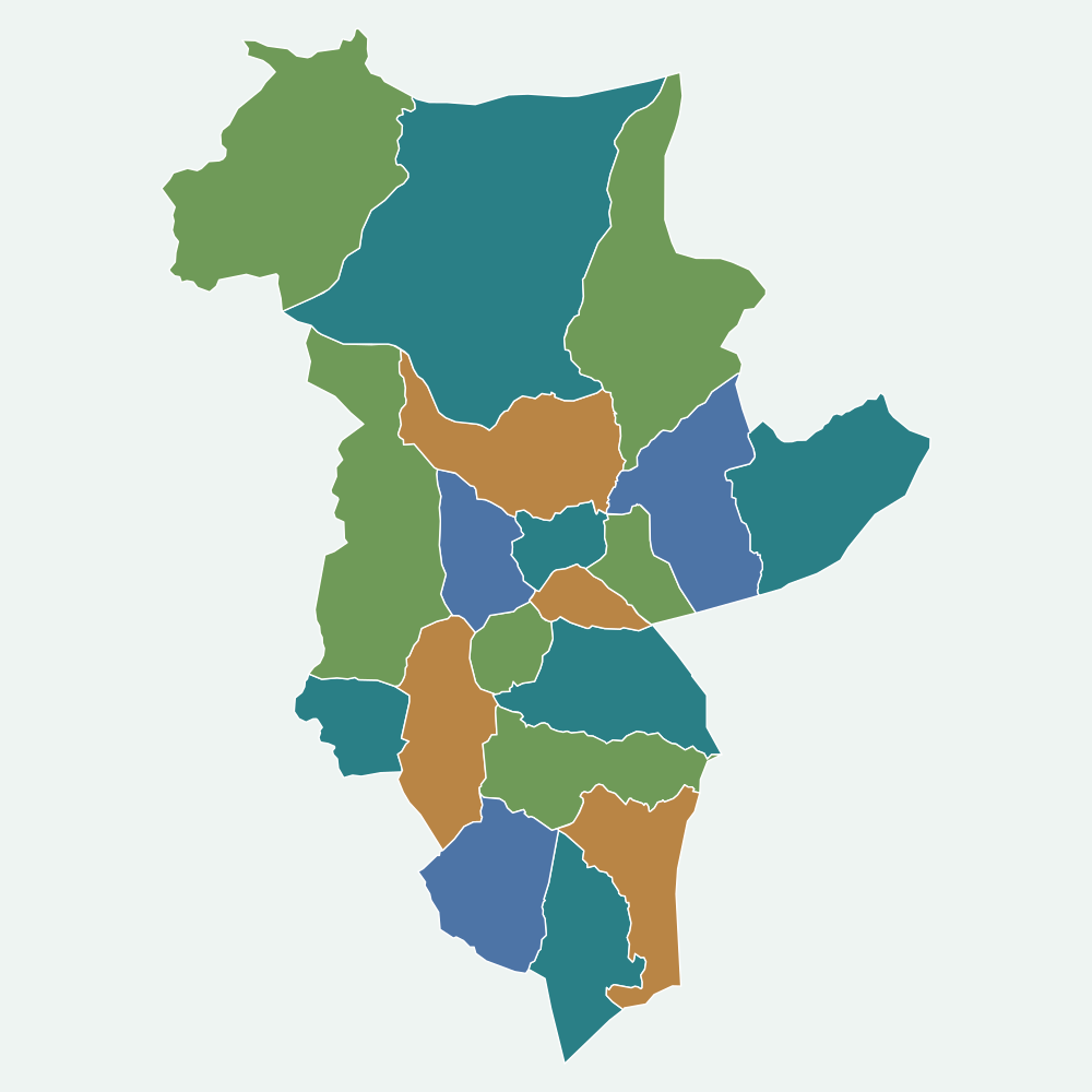
Municipality map
Each parish has a fixed colour. When a record, event or service names its parish, use that colour to locate it on the map.
Camino de Santiago
This municipality is part of the following official Camino routes:
It enters Galicia across the Ribadeo estuary, with a historic alternative via Santiago de Abres. It crosses A Mariña and Terra Chá before joining the final approach to Santiago.
View Way →Cargando…
El Punto de Atención Continuada de referencia indicado por SERGAS es Vilalba.
Centros educativos del concello según el registro oficial de la Xunta de Galicia.
Pública · Non
Recursos de Turismo de Galicia y playas con distintivo oficial.
Próximos eventos publicados en el concello.
Autobús, tren y barco: consulta las conexiones oficiales y planifica el viaje.